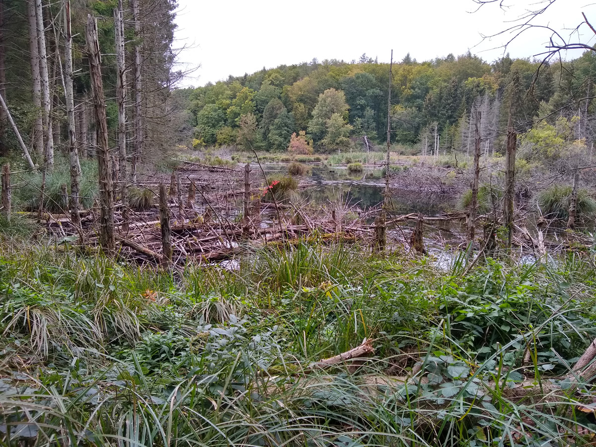
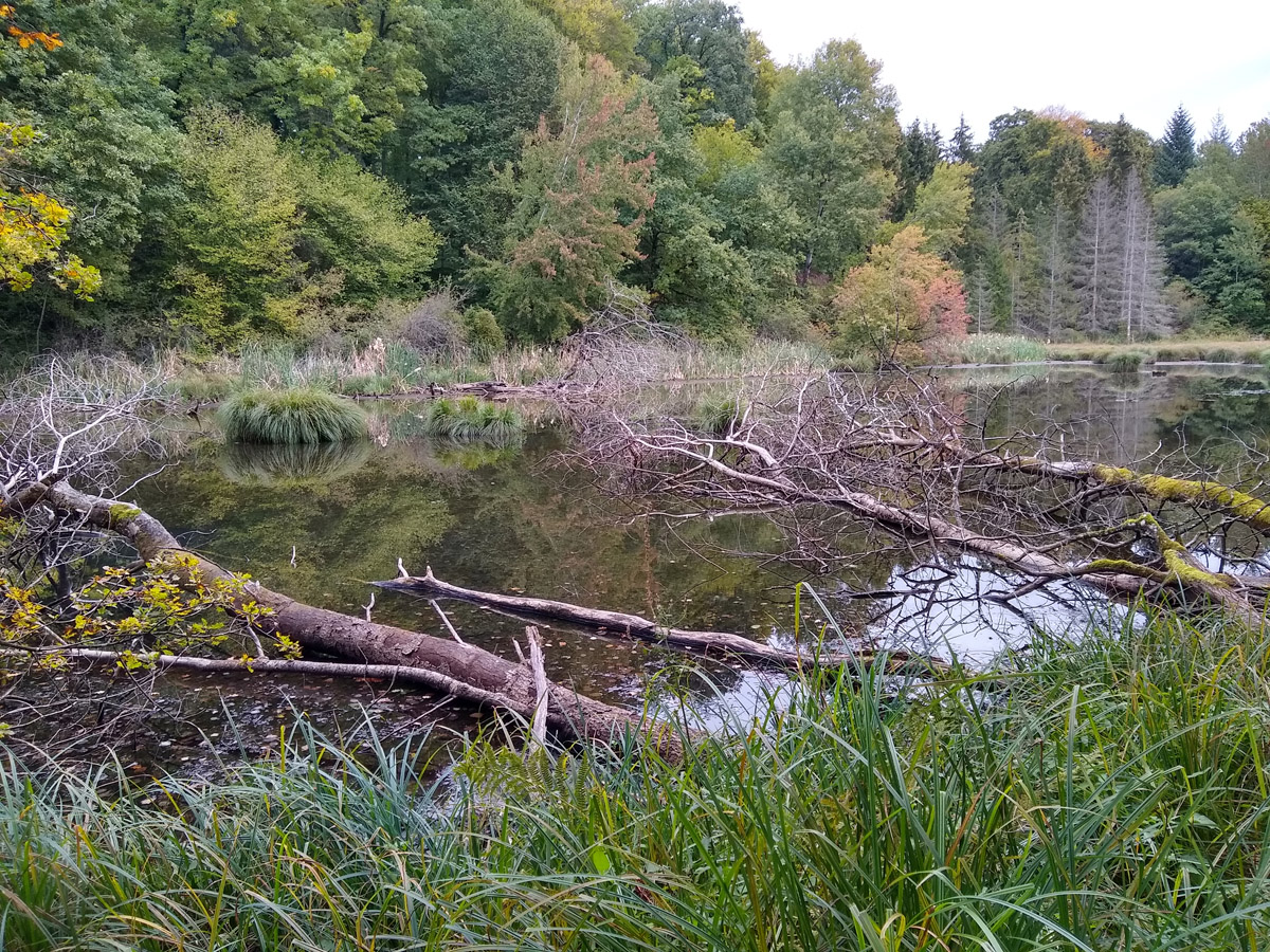
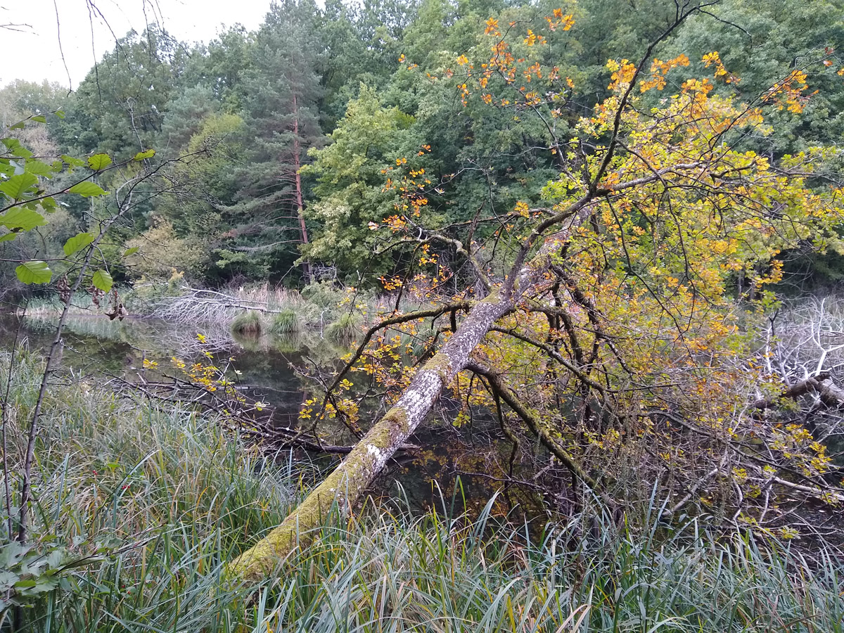
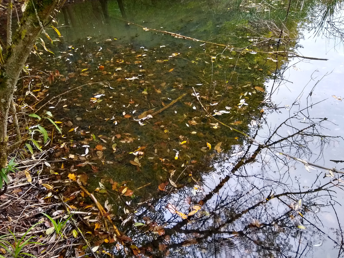
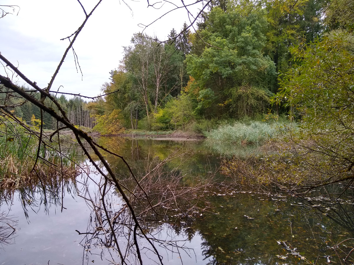
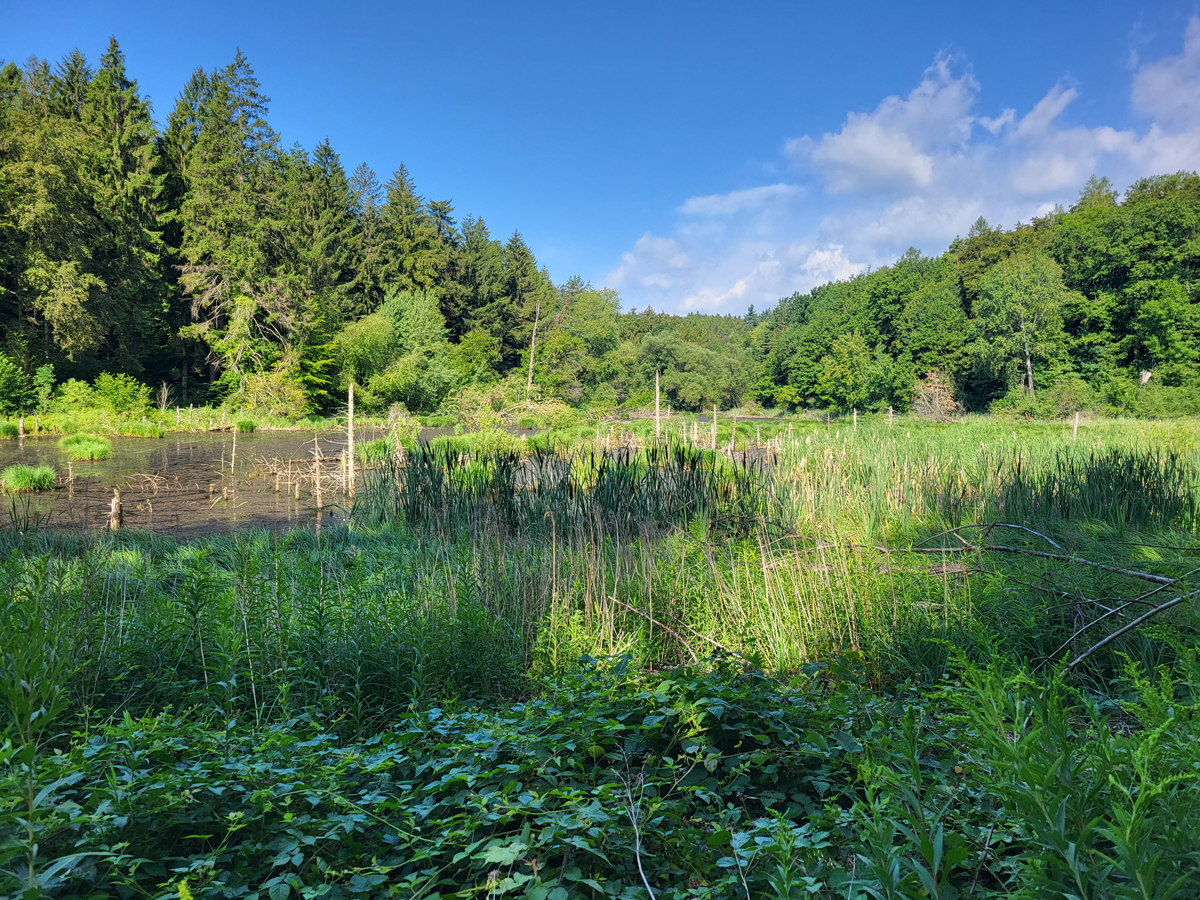
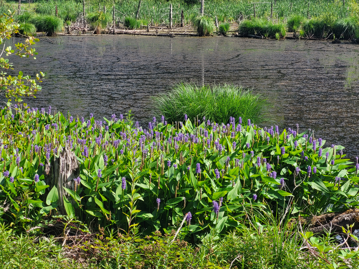
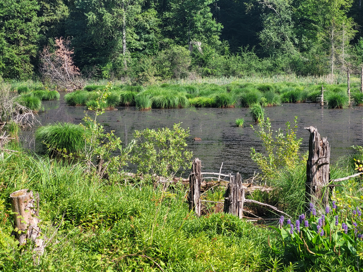
The Bussenried is located about 2 km north of Constance and is an artificially dammed water body in a reed area (see “Google Maps” below). The open water area measures about 300 X 100 m. It is a very shallow body of water with a water depth of about 1 m. Fallen trees and dead trees in the water characterize the area. It is therefore very similar to Ulmisried, which was also artificially dammed. There are extensive areas of reeds. It is difficult to reach because of a deep layer of mud on the bank. Sampling is actually only possible at the dammed end of Bussenried.